Compass: Terra AGS · Free AGS Viewer
The online AGS viewer
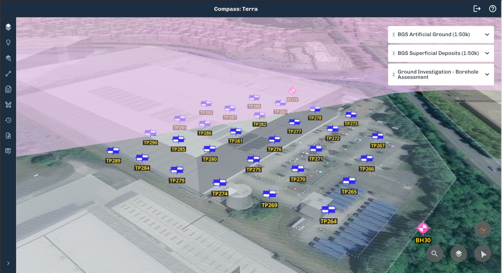
Upload any AGS file to see your investigation data on a map. Build cross sections, see your stratigraphy, and more.
How it works
Upload, View, Edit, Export
With Compass: Terra AGS you can view and edit AGS data in the browser, free of charge.
Upload your file
Enter your email address and upload your AGS file. Compass: Terra AGS will read the data and put your site on the map.
View and Edit your data
All your AGS data can be viewed and edited in the Master View. Any mistakes you identify can be swiftly corrected in the software.
Cross Sections and more
Use cross sections to understand the stratigraphy in your investigation. Access contextual BGS geology information to help you interpret your findings.
Export to AGS
When your project is ready for the next step, or if you decide Compass: Terra AGS is not for you, you can always re-export to AGS.
Need to extract from PDFs instead?
Go further with Compass: Terra
Compass: Terra AGS works in the same environment as Compass: Terra. When you need to automatically extract PDF logs, analyse test certificates or manage multiple projects at once you can make a seamless upgrade to Compass: Terra and all your data will stay in tact.
- AI extraction from PDF borehole logs and Excel test data
- Interactive 3D site models and cross-sections
- BGS borehole extraction
- OS and flood risk contextual data
- AI site interrogation with sources you can check
Get Started
Got an AGS file? Open it now
Terra AGS is free. Drop in a file and see your ground investigation data in seconds.
We use cookies to analyse site usage and improve your experience. By clicking Accept you consent to our use of analytics cookies. Read our Cookie Policy.